A land survey shows pertinent information about a property and its improvements. This information is vital for real estate transactions, city planning, new construction, subdividing a parcel of land, and other functions.
However, there are several different kinds of land surveys. Each type highlights specific information about the property. For example, if you plan to build a new barn on your equestrian property, you will need a construction survey. But, if you submit a construction survey to try and obtain a title insurance policy, you will be sorely out of luck.
As a prospective buyer or seller of Colorado real estate, you must understand the different types of land surveys, which ones you need, and how to interpret them. Read on to discover seven of the most popular property surveys and what requirements they fulfill.
ALTA/ACSM Survey
An ALTA/ACSM survey provides a title company or lender with the necessary data about the property to issue an American Land Title Association or Extended Coverage Title Insurance policy.
A title company or lender needs to know what improvements exist on the property to determine policy coverage. Therefore, an ALTA/ACSM survey is one of the most comprehensive types of property surveys.
Boundary Survey
A boundary survey locates the corners and boundary lines of a parcel of land. Understanding these boundaries can help identify easement lines and encroachments.
Especially in real estate transactions involving large parcels of land, a boundary survey is essential for the listing broker to describe the property and for prospective buyers to understand the lot lines.
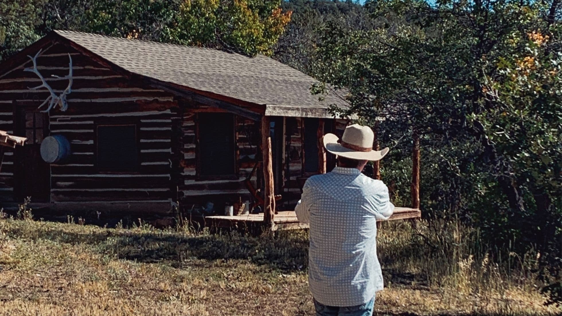
For example, say you’re a prospective buyer looking at a hunting property for sale in Western Colorado. A boundary survey reveals that a fence line is 50 feet away from the property boundary. Are you still interested?
I suppose that depends on whose property the fence line favors. A fence that is 50 feet off could add up to a lot of acres on a large tract of land. If the fence has been in use for enough years without protest, you could be paying for acreage that you can never use.
Construction Survey
A construction survey is required when a property owner wants to make improvements on the property. This survey identifies structures located on the property like walls, buildings, roads, and utilities. When a construction team arrives on the property to build a new structure, they can reference the survey to determine where they can safely build and easily connect to utilities.
Location Survey
A location survey identifies the location of interior improvements. Lenders and city officials reference a location survey when approving loans and issuing zoning permits.
Site Planning Survey
A site planning survey shows the boundary lines and topographic information about a parcel of land. Having a site planning survey helps developers design and place improvements in the best locations on the property. Often, development permit applications require a site planning survey.
Subdivision Survey
A subdivision survey is used for several property design purposes. First, developers use a subdivision survey to divide a parcel of land into smaller lots. Alternatively, local and state government agencies can use a subdivision survey to identify the potential locations of streets and drainage systems.
Topographic Survey
A topographic survey identifies natural and man-made features on a parcel of land. These features include fences, buildings, utility lines, streams, trees, and natural contours. Government agencies and architects use topographic surveys to determine the best location for city systems and property improvements.
Why Property Surveys Matter To You
If you are purchasing property for sale in Colorado and getting mortgage financing, your lender will require you to get a property survey. The lender wants to ensure that the home and other improvements are within the property’s boundary lines and meet the zoning requirements.
As a seller, and a listing broker, getting a property survey ensures that we accurately represent the property for sale. For example, say you have owned 70 acres of farmland in Western Colorado for the past 20 years. In that time, you built a fence around the perimeter. If you share this with me as your broker, I want to verify that the fence is actually on your property and not encroaching on your neighbor’s or vice versa.
It is my opinion that providing an appropriate survey is the responsibility of the seller. After all, you should know what you are selling and be prepared for any issues before they arise. If a fence line needs to be addressed, it would be better to discuss with your neighbor about moving the fence or making a boundary adjustment before selling. Otherwise, if you wait until you are under contract and a few days from closing to have that conversation, you risk delaying your closing, or worse, losing a deal.
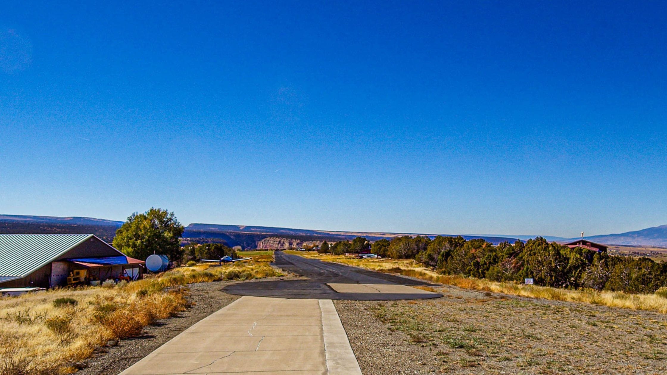
Property surveys are vital to most real estate transactions, especially in Western Colorado when you’re dealing with a lot more land and property improvements than a residential lot in the city. Having accurate dimensions of your land saves everyone – you, your broker, buyers, neighbors, the city, etc. – from disputes and legal action.